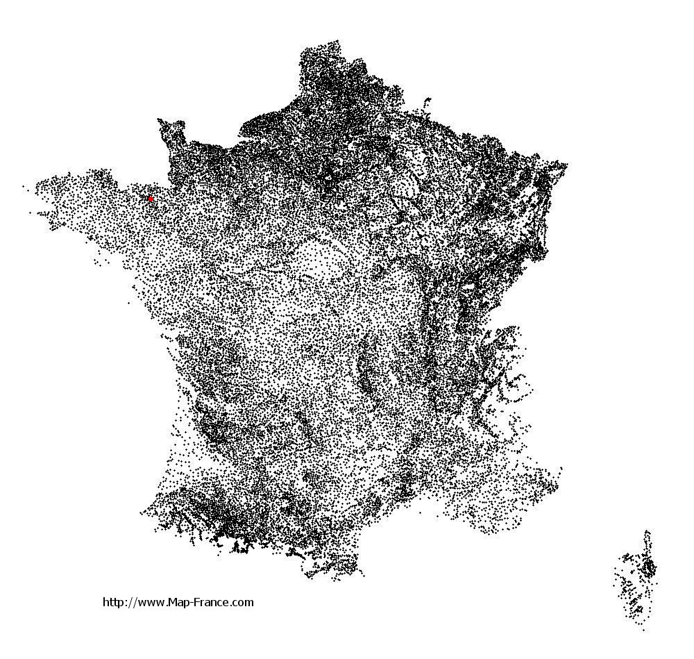
Les Champs-Géraux on the relief France map in Lambert 93 coordinates
|

See the map of Les Champs-Géraux in full screen (1000 x 949)
|
At left, here is the location of Les Champs-Géraux on the relief France map in Lambert 93 coordinates.
Here are the altitudes of Les Champs-Géraux :
- Town hall altitude of Les Champs-Géraux is 38 meters
- Minimum altitude of Les Champs-Géraux is 7 meters
- Maximum altitude of Les Champs-Géraux is 97 meters
- Medium altitude of Les Champs-Géraux is 52 meters
Here are the altitudes of Saint-Brieuc, prefecture of Côtes-d'Armor department:
- Town hall altitude of Saint-Brieuc is 100 meters
- Minimum altitude of Saint-Brieuc is 0 meters
- Maximum altitude of Saint-Brieuc is 134 meters
- Medium altitude of Saint-Brieuc is 67 meters
Here are the altitudes of the french biggest cities:
Paris : 33 meters
Marseille : 20 meters
Lyon : 237 meters
Toulouse : 146 meters
Nice : 10 meters
Nantes : 20 meters
Strasbourg : 144 meters
Montpellier : 35 meters
Bordeaux : 16 meters
Lille : 20 meters
Rennes : 35 meters
Reims : 83 meters
Click here for the terrain map of Les Champs-Géraux in full screen:
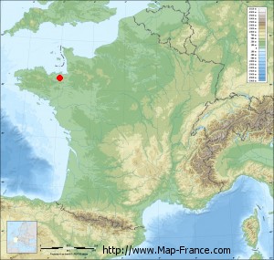
Relief map of Les Champs-Géraux
|
This relief map of Les Champs-Géraux is reusable and modifiable by making a link to this page of the Map-France.com website or by using the given code :
|
Terrain base map of Les Champs-Géraux
|

See the terrain base map of Les Champs-Géraux in full screen (1000 x 949)
|
Small relief base map of Les Champs-Géraux
|
This base map of Les Champs-Géraux is reusable and modifiable by making a link to this page of the Map-France.com website or by using the given code :
|
Map of Les Champs-Géraux with regions and prefectures
|
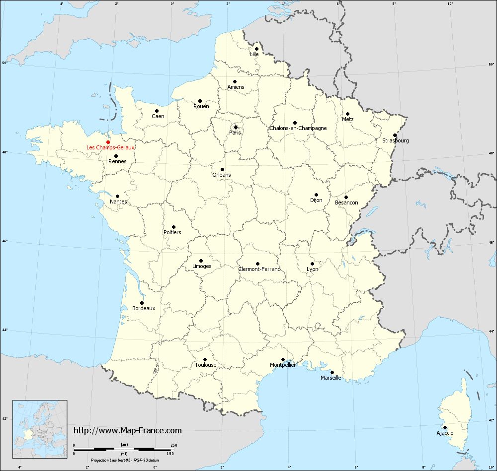
View the map of Les Champs-Géraux in full screen (1000 x 949)
|
You will find the location of Les Champs-Géraux on the map of France of regions in Lambert 93 coordinates. The town of Les Champs-Géraux is located in the department of Côtes-d'Armor of the french region Bretagne.
Geographical sexagesimal coordinates / GPS (WGS84):
Latitude: 48° 24' 60'' North
Longitude: 01° 58' 14'' West
Geographical decimal coordinates :
Latitude: 48.416 degrees (48.416° North)
Longitude: -1.969 degrees (1.969° West)
Lambert 93 coordinates :
X: 3 325 hectometers
Y: 68 245 hectometers
Lambert 2 coordinates :
X: 2 813 hectometers
Y: 23 885 hectometers
Below, the geographical coordinates of Saint-Brieuc, prefecture of the Côtes-d'Armor department:
Geographical sexagesimal coordinates / GPS (WGS84):
Latitude: 48° 30' 49'' North
Longitude: 02° 45' 37'' West
Geographical decimal coordinates :
Latitude: 48.514 degrees (48.514° North)
Longitude: -2.773 degrees (2.773° West)
Lambert 93 coordinates :
X: 2 749 hectometers
Y: 68 392 hectometers
Lambert 2 coordinates :
X: 2 236 hectometers
Y: 24 027 hectometers
|
This map of Les Champs-Géraux is reusable and modifiable by making a link to this page of the Map-France.com website or by using the given code :
|
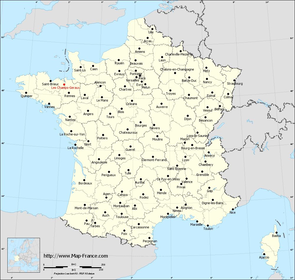
Map of Les Champs-Géraux with departments and prefectures
|
Voir la carte of Les Champs-Géraux en grand format (1000 x 949)
|
Here is the localization of Les Champs-Géraux on the France map of departments in Lambert 93 coordinates. The city of Les Champs-Géraux is shown on the map by a red point.
The town of Les Champs-Géraux is located in the department of Côtes-d'Armor of the french region Bretagne.
The latitude of Les Champs-Géraux is 48.416 degrees North.
The longitude of Les Champs-Géraux is 1.969 degrees West.
Here the distance between Les Champs-Géraux and the biggest cities of France:
Distances are calculated as the crow flies (orthodromic distance)
Distance between Les Champs-Géraux and Paris : 320.55 kilometers
Distance between Les Champs-Géraux and Marseille : 804.59 kilometers
Distance between Les Champs-Géraux and Lyon : 592.97 kilometers
Distance between Les Champs-Géraux and Toulouse : 596.46 kilometers
Distance between Les Champs-Géraux and Nice : 882.35 kilometers
Distance between Les Champs-Géraux and Nantes : 136.54 kilometers
Distance between Les Champs-Géraux and Strasbourg : 715.69 kilometers
Distance between Les Champs-Géraux and Montpellier : 698.54 kilometers
Distance between Les Champs-Géraux and Bordeaux : 410.96 kilometers
Distance between Les Champs-Géraux and Lille : 437.05 kilometers
Distance between Les Champs-Géraux and Rennes : 40.35 kilometers
Distance between Les Champs-Géraux and Reims : 448.51 kilometers
Clic here to see the map of Les Champs-Géraux in full screen:
Les Champs-Géraux on the map of french departments
|
This administrative map of Les Champs-Géraux is reusable and modifiable by making a link to this page of the Map-France.com website or by using the given code :
|
Administrative base maps of Les Champs-Géraux
|

See the administrative base map of Les Champs-Géraux in full screen (1000 x 949)
|
Small administrative base map of Les Champs-Géraux
|
This base map administrative of Les Champs-Géraux is reusable and modifiable by making a link to this page of the Map-France.com website or by using the given code :
|
 French Version : http://www.cartesfrance.fr